
More than an app.
It's a community.
"FossilRadar helped me find sites I would have never discovered on my own. It's like having a geologist in your pocket!"
 used by fossil hunters in 176 countries
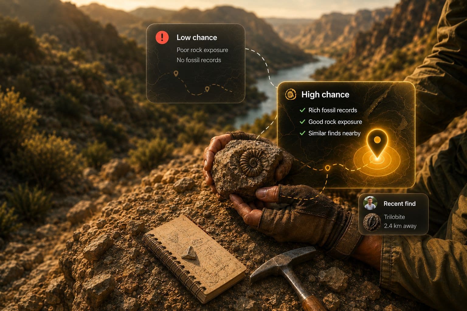
FossilRadar points you toward high-potential fossil sites with AI map forecasts, geological context, and instant fossil identification.
"FossilRadar helped me find sites I would have never discovered on my own. It's like having a geologist in your pocket!"
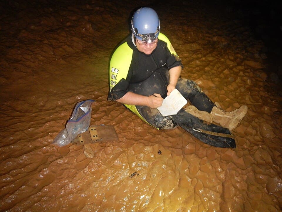
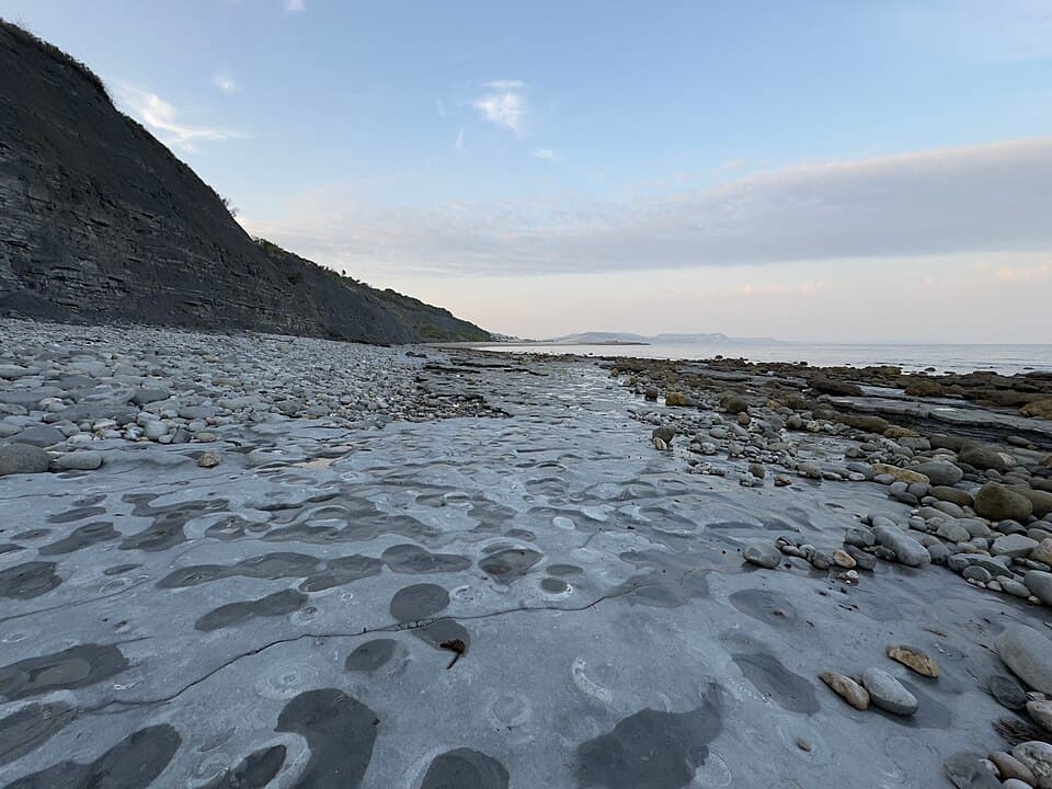
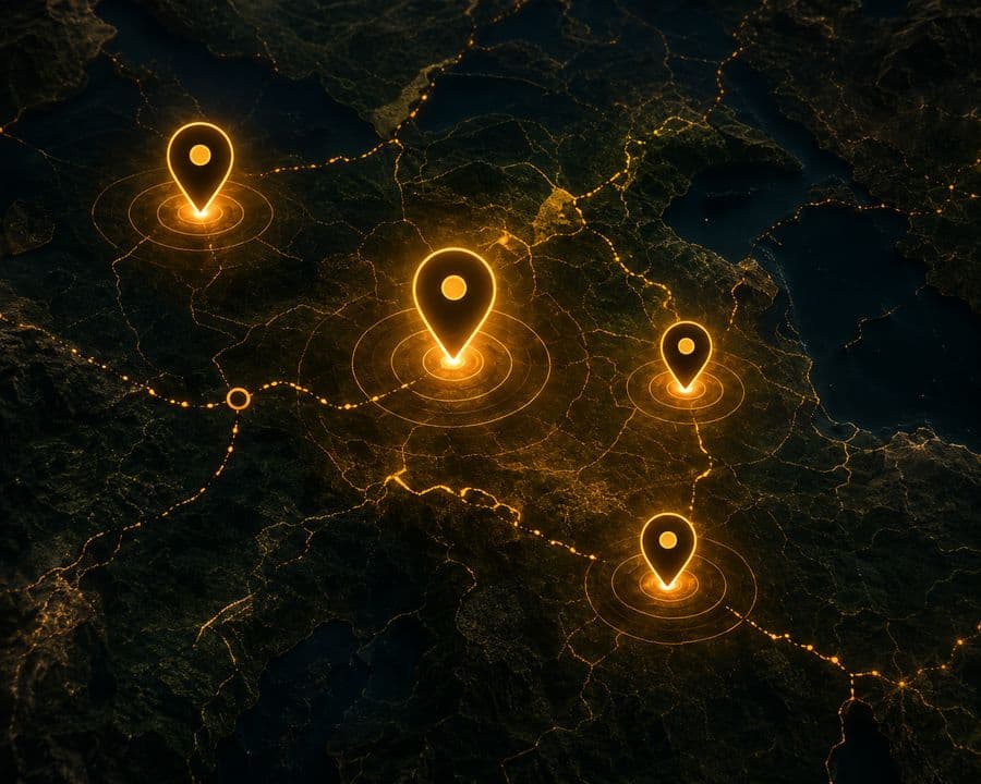
AI-powered maps show high-potential zones based on geology, exposure, and fossil records.
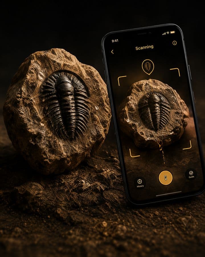
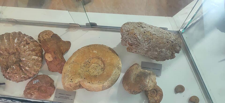
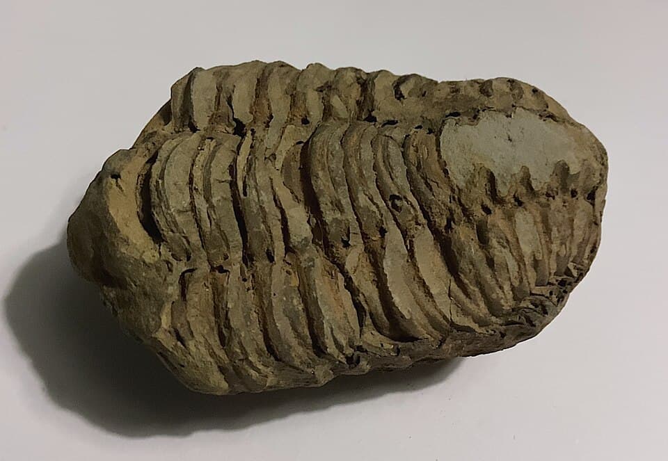
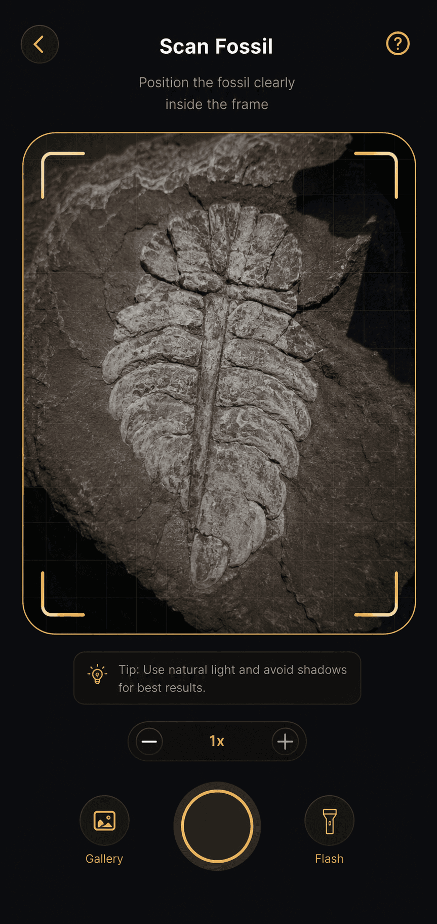
Identify fossils in seconds with AI and get detailed information about species, age, and more.
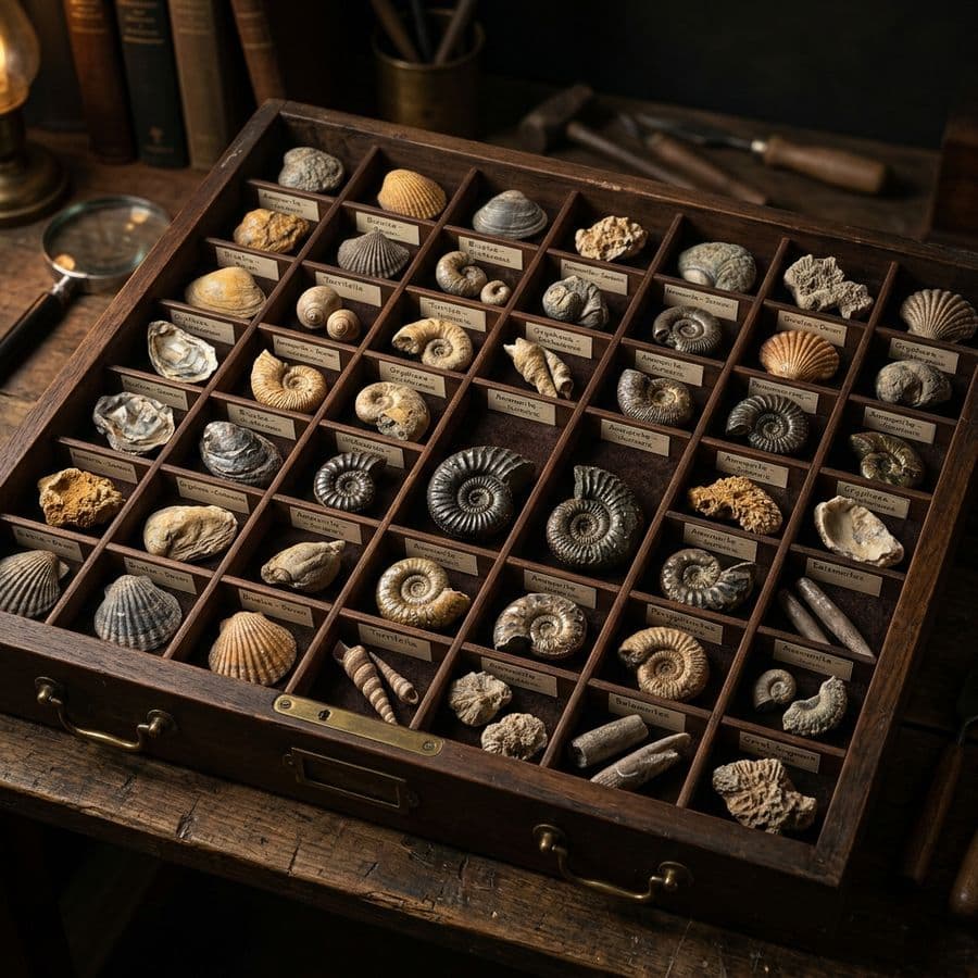
Save your finds, add locations, and build your digital fossil collection over time.
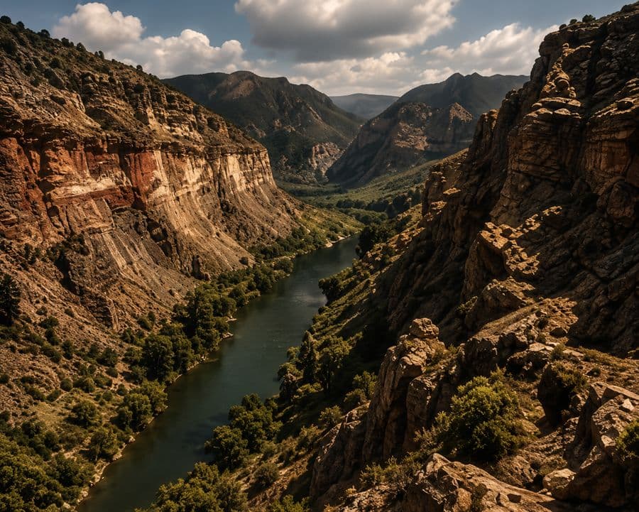
Understand the rocks, layers, and time periods behind your discoveries.
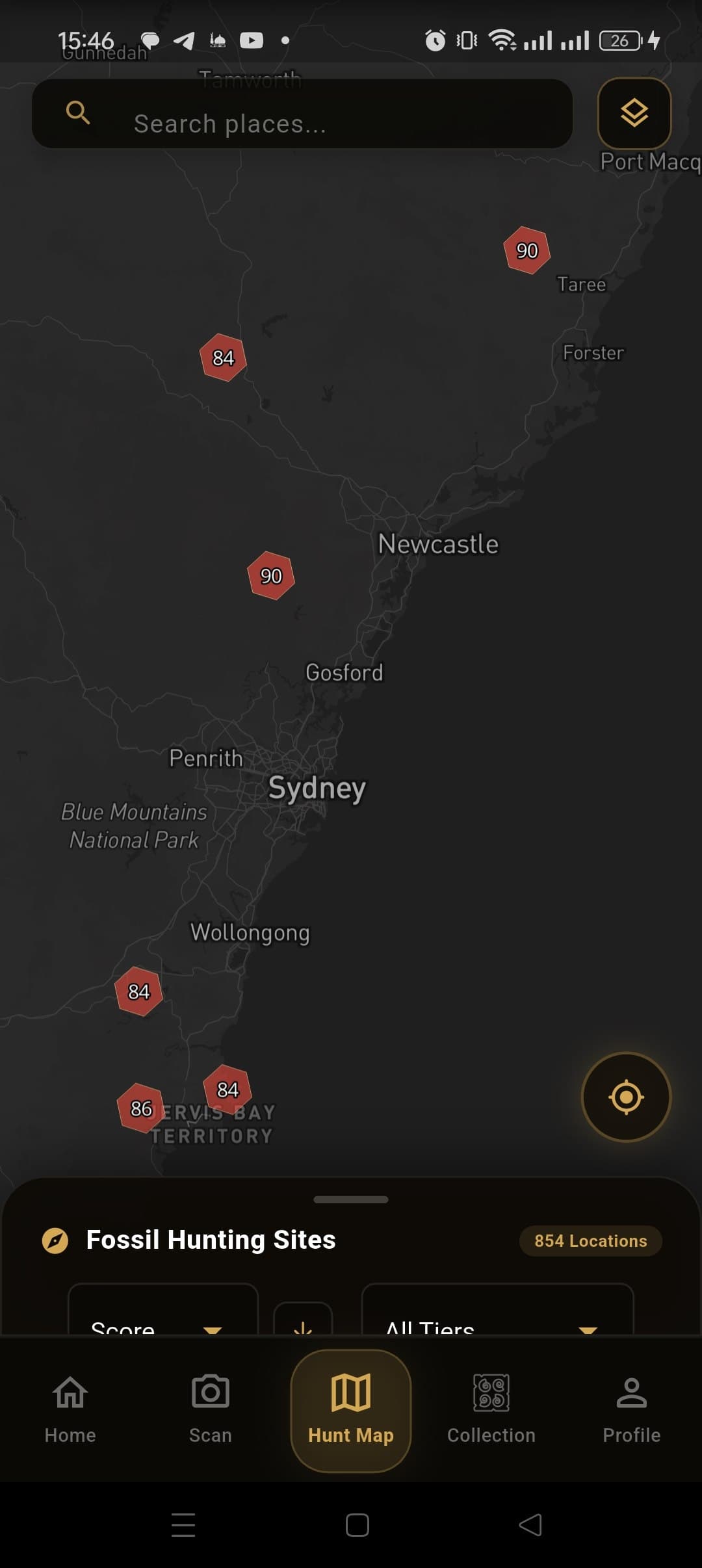
Explore AI-predicted fossil hotspot areas near you.
Visit high-potential sites with geological context and tips.
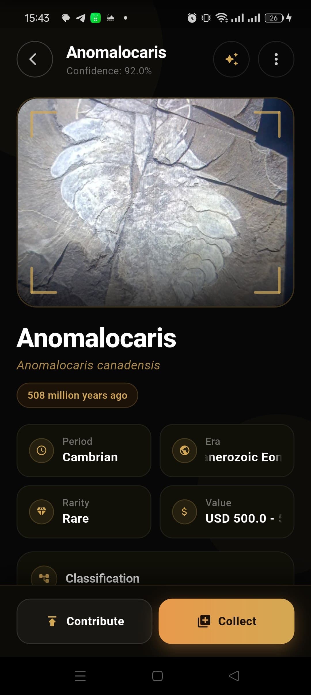
Snap a photo and instantly identify your fossil.
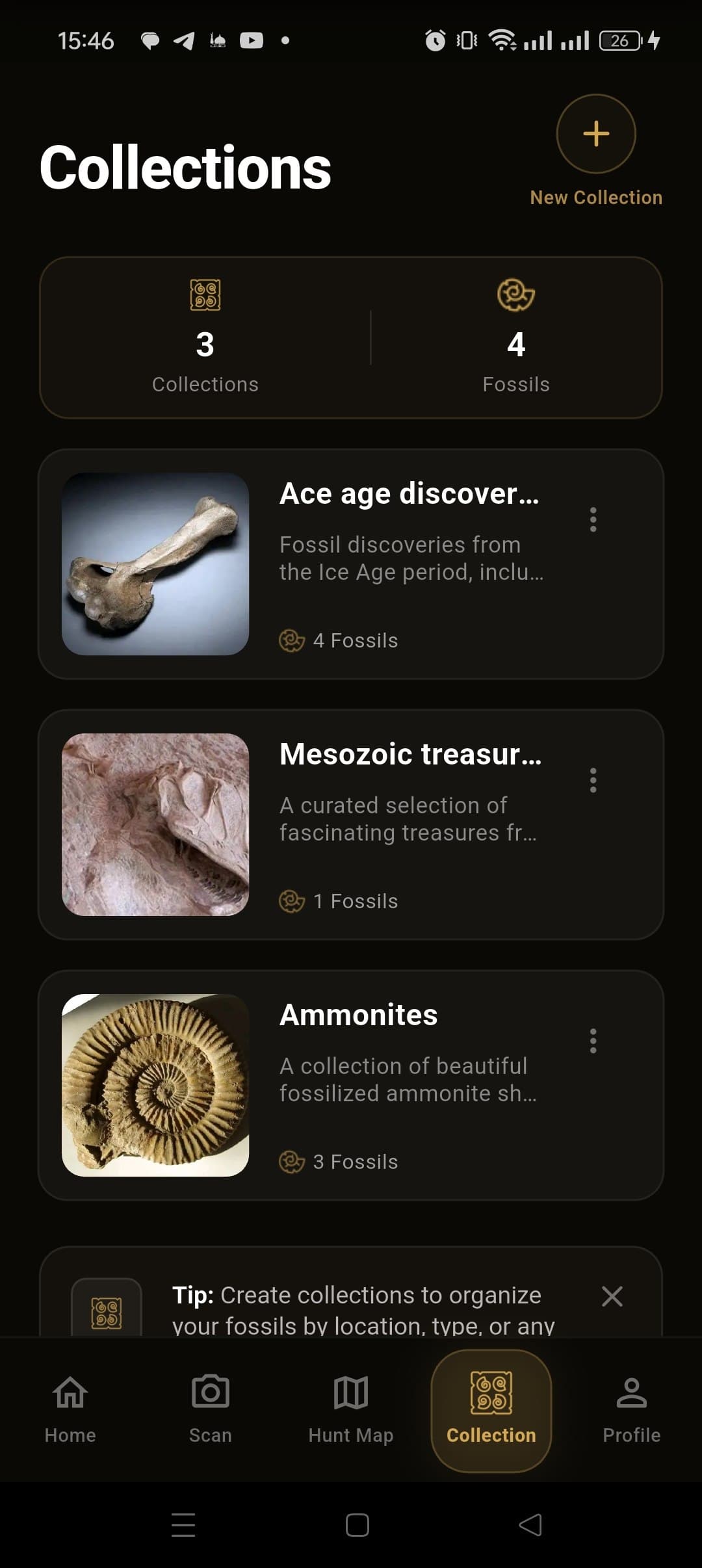
Add it to your collection and keep learning.
Sometimes, but rarely as a hobbyist's main income. Common invertebrates (ammonites, shark teeth, trilobites) sell for modest sums to collectors, while rare, well-prepared, or scientifically significant specimens can fetch real money through dealers or auction. Most people who make a living from fossils work in preparation, dealing, or guiding rather than off single finds, and vertebrate material is often legally restricted from sale. Treat hunting as a paying hobby at best unless you build a business around preparation or dealing.
Start local: find an exposed sedimentary site — coastal cliffs, river cuts, quarries, or road cuts — since fossils only turn up where the right-aged rock reaches the surface. FossilRadar maps those layers around you and ranks nearby sites by potential. Pick up basic gear (boots, safety glasses, a hand lens, wrapping material), check the site's access rules, and go out after rain or storms when fresh erosion exposes new material. Our 5 essential tools every fossil hunter needs and best places to find fossils guides cover the rest.
Sedimentary rock only — limestone, shale, sandstone, and mudstone — since fossils form when sediment buries organisms before they decay, then compacts over time. Igneous and metamorphic rock destroy or never contain fossils, because heat and pressure erase organic structure. Look for fine-grained, layered rock with visible bedding, ideally of an age where the fossil group you're after is known to occur. The understanding rock layers and fossil formation guide walks through identifying formations in the field.
It varies widely by employer and experience. Preparators at museums or universities in the US typically earn somewhere in the $35,000-$65,000 range, while freelance preparators working for commercial dealers or private collectors can earn more per specimen on skilled, time-intensive work but with less job stability. Specialized skills — micro-prep, vertebrate work, mounting — command higher rates than general invertebrate cleaning.
Not on its own — "fossil hunter" isn't typically a paid job title, but the skills lead into real careers: paleontology (research and museum work, usually requiring a graduate degree), fossil preparation, commercial fossil dealing, geological survey and mining exploration work, and paleontological consulting for construction and mining projects that must comply with fossil-protection regulations. Most people in these fields started as hobbyist hunters before formalizing the skill through education or apprenticeship.